

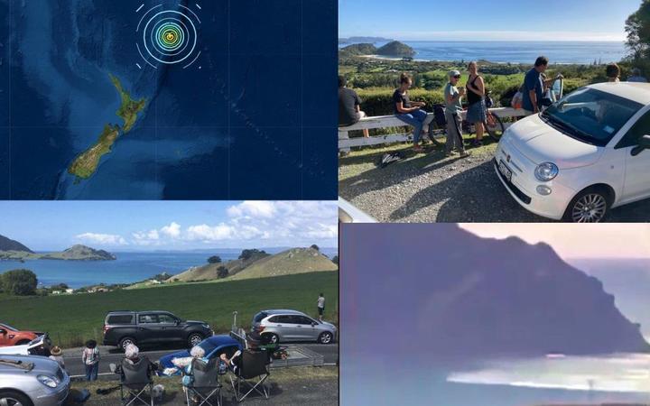
I live in New Zealand. A while back (March 2021) there were earthquakes in the Pacific which spurred tsunami warnings in NZ.
I had vague recollections of ocean wave speed theory from uni and wondered whether I could put it into practice to estimate the arrival time at ‘wherever’.
Seismic events
These were the 3 main events March 4/ March 5 (UTC):
Water level/ tsunami gauges
NZ sea-level gauge stations
https://www.geonet.org.nz/data/types/tidal_gauges
- Lottin point (LOTT)
- North Cape ()
- Raoul islands.
- Great Barrier Island
I grabbed a snapshot (@12:18 NZDT) from GNS which shows the de-tided sea levels across NZ’s gauge network about four hours, after the Kermadec 8.1 quake. You can see it totalled the two Raoul Island sensors, which are in the Kermadecs.

https://www.geonet.org.nz/data/supplementary/channels I’ve included this link for the next time.
Some Code & pics
I had a go at estimating the arrival time, based on my undergrad coastal engineering knowledge (with caveats!). Code here.
My result is below, for the M8.1 quake. LOTT is Lottin Point. Contours are arrival times in hours. Not much good 2 months after the event right?

Needless to say – please do not use my code for predicting arrival times for future events. Use official channels, maybe via googling ‘Tsunami warnings’ or whatever might be appropriate.